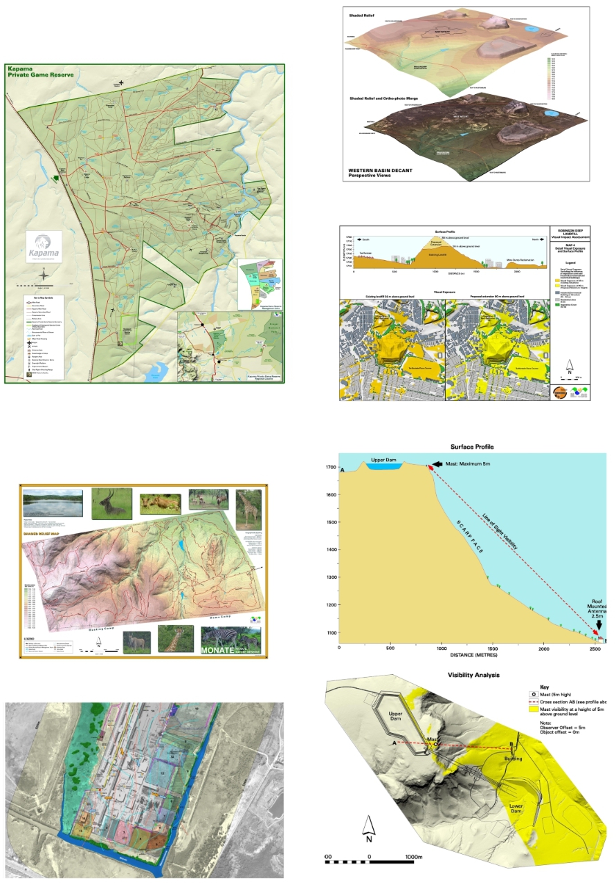
LOGIS specialises in the production of custom maps, created from information sourced from field work, captured from satellite images or provided in various formats by the client. We pride ourselves in the creative visualisation of spatial data in order to make maps exciting, informative and easy to interpret.
Included below are samples of maps created for game reserves, a WULA (Water Use Licence Application) map, line of sight visibility analysis and 3D (perspective) views of landfills and mine dumps.