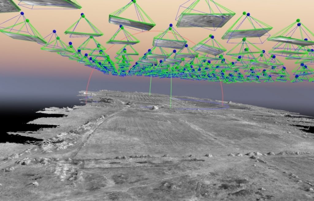
LOGIS provides post flight data processing, analysis and mapping services for data remotely “sensed” from UAVs (Unmanned Aerial Vehicles or Drones).
Drones offer a quick and cost-effective alternative for mapping and surveying projects, without a marked loss in accuracy, quality and resolution.
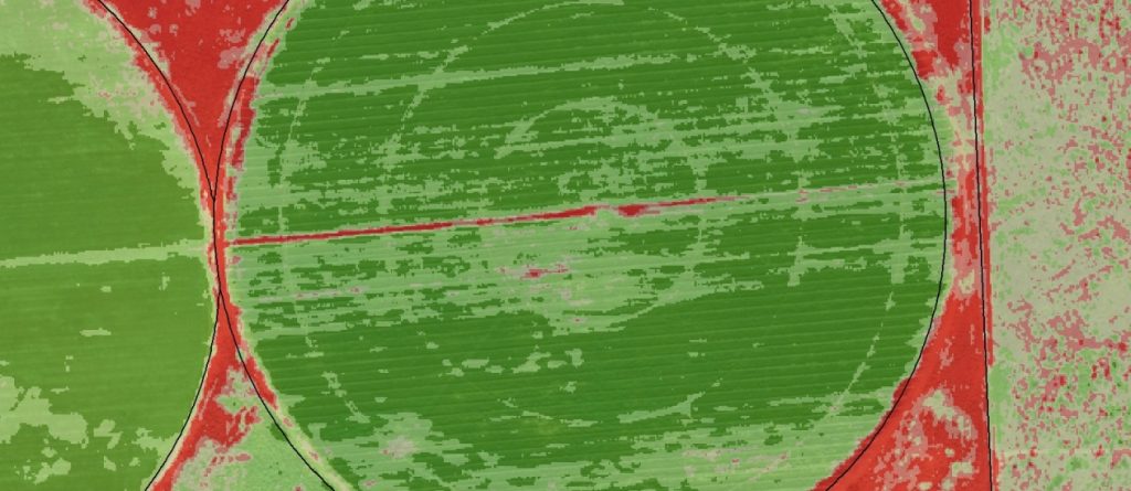
Applications include:
• Precision farming (vegetation indexes)
• Mining, quarrying and landfills (surveying, contour mapping, volume calculations)
• GIS (aerial imagery, ortho-mosaics, 3D models)
• Environmental and disaster management (game counts, rapid disaster impact assessments and monitoring)
We can commission flights for your study area, route alignment or area of interest.