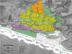
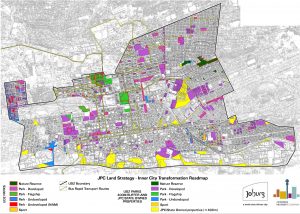
Development planning provides direction and control to realise development through policy and guidelines. All levels of government are supported by planning tools such as spatial development frameworks (SDF’s) and planning schemes, all of which operate from a strong geospatial base. Integrated development planning involves other disciplines such as environmental management, disaster risk management and engineering.
Geospatial technologies provide the entry point to link planning activities within these domains on a shared platform of geospatial databases.