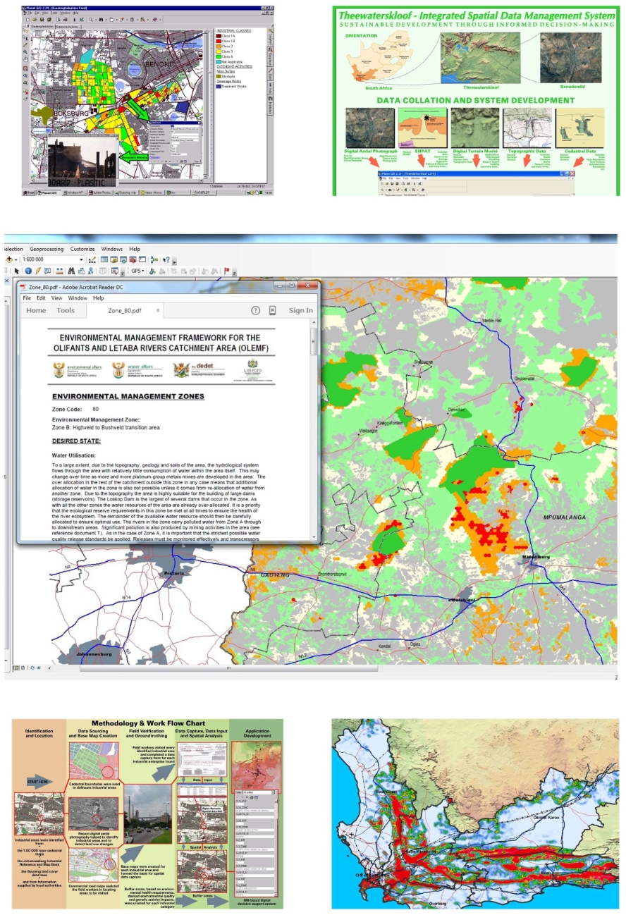
Most projects require the design and development of a GIS-based interface or spatial data viewer. This aids decision makers, developers and officials in making informed decisions, based on current and accurate spatial data. LOGIS develops custom reporting functionality and interface (as per the requirements of the client) and provide training on the basic features and utilisation of the viewer. The sample below (centre) indicates the typical interface of an EMF viewer as supplied to the Department of Environmental Affairs.