Geospatial data sourcing and acquisition
Data capture and processing
Data evaluation, conversion and transfer
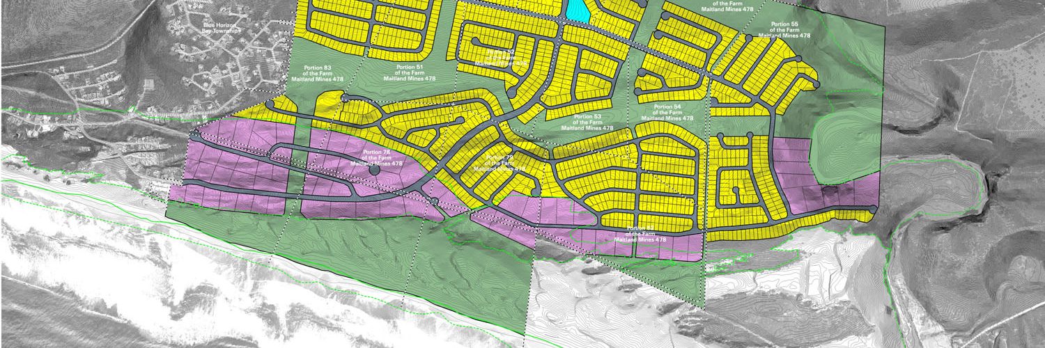
Geodatabase development, implementation and maintenance
System design and development
Spatial analysis/modelling (visibility, slope, aspect, shadow, surface, raster, proximity, network, etc.)
Digital terrain modeling
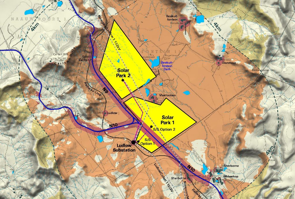
Terrain evaluation and site screening
Image processing and analysis
Impact assessment and impact management
Environmental management
GIS-based decision support systems development
Project management
Map production, display, queries and reporting
Environmental sciences expertise
Process development
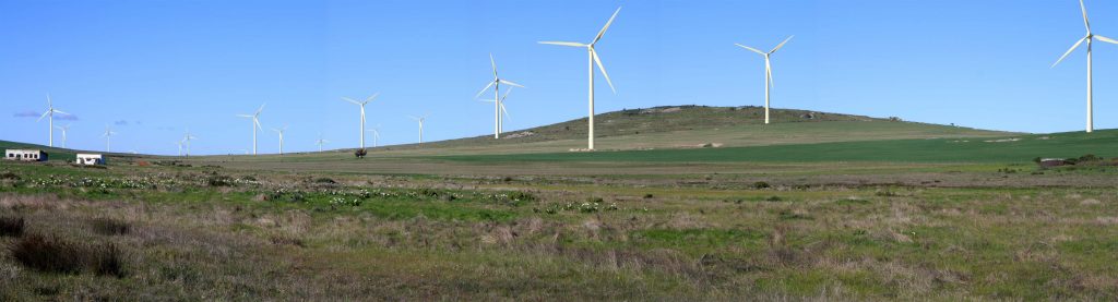
Visual Impact Assessment (VIA)
GPS fieldwork, aerial surveys and drone data processing